OKLAHOMA HISTORIC BRIDGE SURVEY:
DEPRESSION-ERA WORKS PROGRAM BRIDGES AND ROAD-RELATED RESOURCES
|
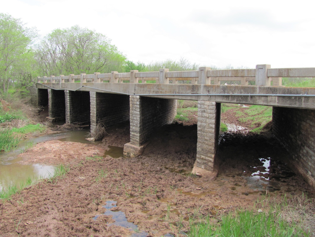
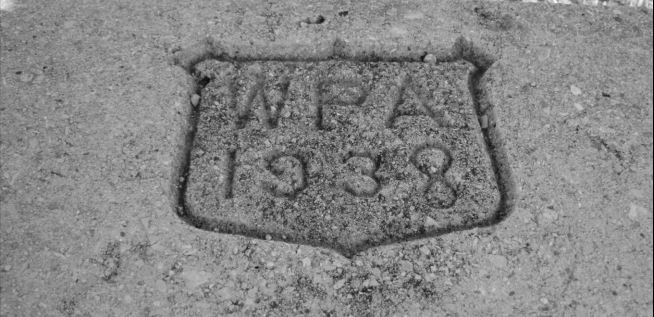
Mead & Hunt has assisted ODOT in the inventory and evaluation of bridges and culverts constructed by the Depression-era Works Programs in Oklahoma between 1933 and 1945. The Final Report has been completed and is now available. The study resulted in a Programmatic Agreement for the streamlined review and treatment of Depression-era bridges.
The importance of New Deal work-relief cannot be overstated in Oklahoma, so our efforts have resulted in a commitment to public outreach. As part of the public outreach, ODOT has produced a public context for New Deal bridge and roadway construction (available below). A Google Earth layer illustrating the location of bridges and culverts constructed as part of a confirmed New Deal Works Program project can also be downloaded to find New Deal bridge projects near you. |
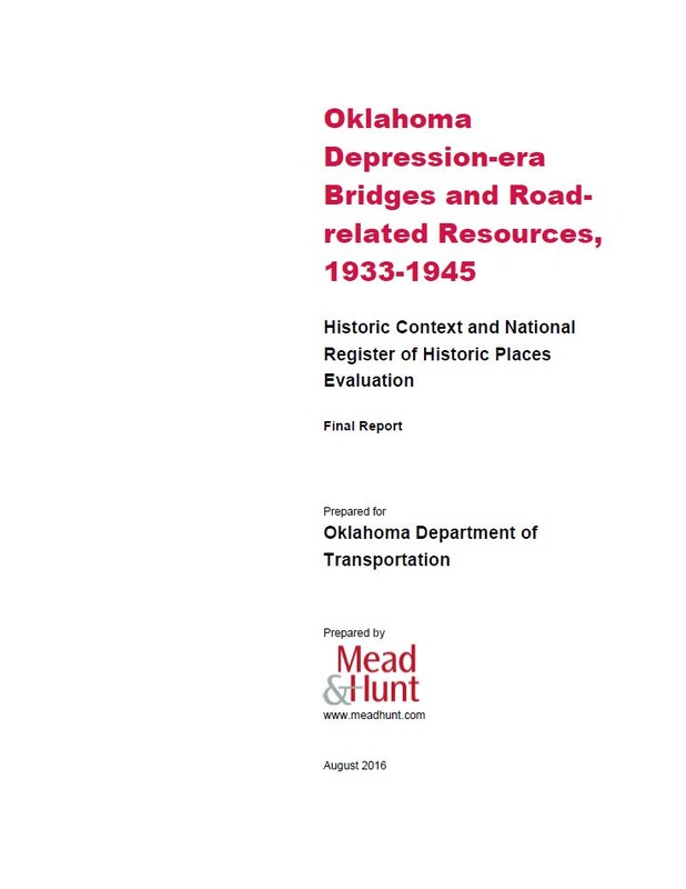
Final ReportOklahoma Depression-era Bridges and Road-related Resources, 1933-1945: Historic Context and National Register of Historic Places Evaluation (August 2016)
|
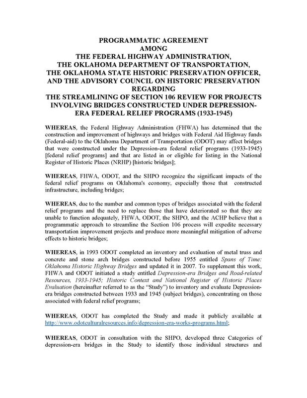
Programmatic agreementProgrammatic Agreement Regarding the Streamlining of Section 106 Review for Projects Involving Bridges Constructed Under Depression-Era Federal Relief Programs (1933-1945)
|
Public outreach for new deal transportation
in oklahoma
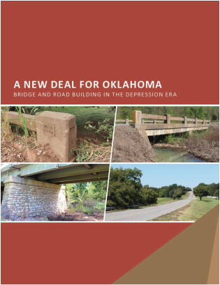
a new deal for oklahomaThe first stipulation that resulted from the Programmatic Agreement above, was to produce a public context for New Deal programs in Oklahoma. Between 1933 and 1945 Oklahoma’s roads and bridges underwent a period of significant construction and improvement. Dirt roads became interstate highways, bridges and culverts spanned rivers and creeks, and Oklahoma began to mature into the thriving and interconnected state we know today.
President Franklin D. Roosevelt began his term in 1933, initiating the “New Deal for America” during his first 100 days in office in order to lift the country out of the Great Depression. The context provides a history of bridge and road building in Oklahoma between 1933 and 1945. |
Interactive google earth layer
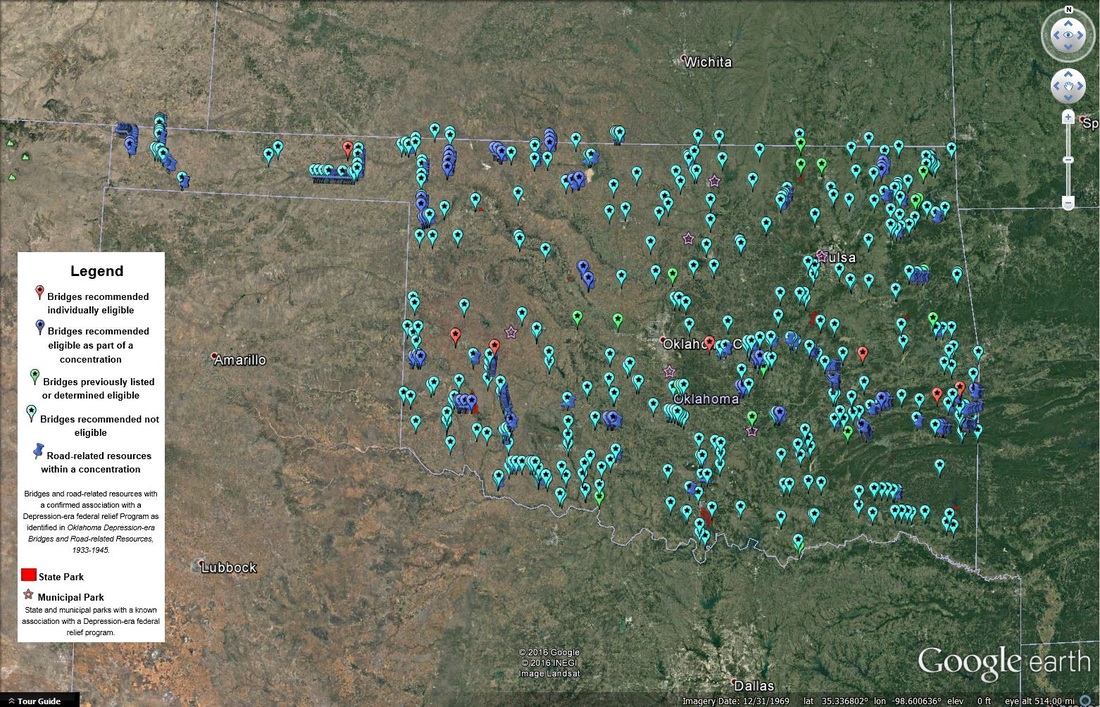
The second stipulation resulting from the Programmatic Agreement was to produce an interactive layer of Oklahoma's transportation resources that had a confirmed association with the New Deal. Google Earth is a readily-accessible geographic information system platform that has both web-based and Android and iOS mobile operating systems. With assistance from Mead & Hunt, ODOT has mapped all bridges with a confirmed New Deal association in Oklahoma. Each bridge or bridge concentration has a clickable link that will direct you to a form associated with the structure or concentration. We have included information about the following:
The browser that is built in to Google Earth can be picky about what types of links it will open. We suggest doing the following:
Download the Google Earth kmz by clicking on the image above.
- Bridges and bridge concentrations recommended eligible for inclusion in the National Register of Historic Places (NRHP) as part of the Oklahoma Depression-era Bridges and Road-related Resources, 1933-1945 study.
- Depression-era bridges that were previously listed on, or determined eligible for listing on the NRHP.
- Confirmed New Deal bridges that were recommended not eligible for inclusion in the NRHP.
- State and Municipal Parks that have a confirmed New Deal association (these resources will link to thematic evaluations conducted by the State Historic Preservation Office).
The browser that is built in to Google Earth can be picky about what types of links it will open. We suggest doing the following:
- Under the Tools menu, click "Options", "General" tab. Within the "Display" box, click "Show web results in external browser" or "Open links in external browser". If you check that box, clicking the links will open your default browser.
Download the Google Earth kmz by clicking on the image above.
